Geospatial
GIS (Advanced)
Training at THL in Bhubaneswar.
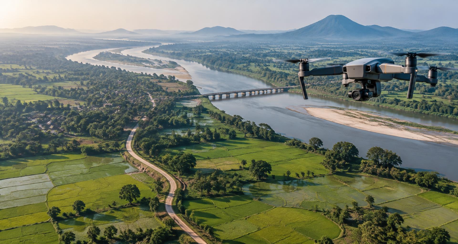
The advanced course builds on basic GIS with analysis, databases and raster surfaces. It is aimed at people who already open data, style layers and make a simple map.
Syllabus
- Design a geodatabase and check topology
- Join tables and run overlay and spatial queries
- Interpolate surfaces and calculate slope and hillshade
- Use raster tools such as reclassification and map algebra
- Work with network or proximity analysis
- Prepare a clear map and share the data package
Tools
GIS
All courses